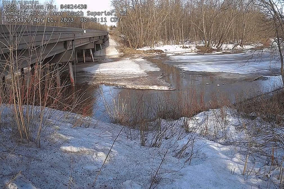
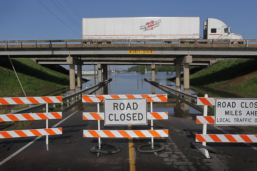
Rapid warming is triggering flooding over the South Shore of Lake Superior, and temperatures near 70F (inland) later today will accelerate runoff and flooding across much of the Northland. Cooler weather, and a little slush, is shaping up for the weekend.
Only in the Northland can you be ankle-deep in slush with a mild breeze blowing in your face. This week's rapid thaw is increasing hopes for spring, and the potential for significant flooding in the coming weeks.
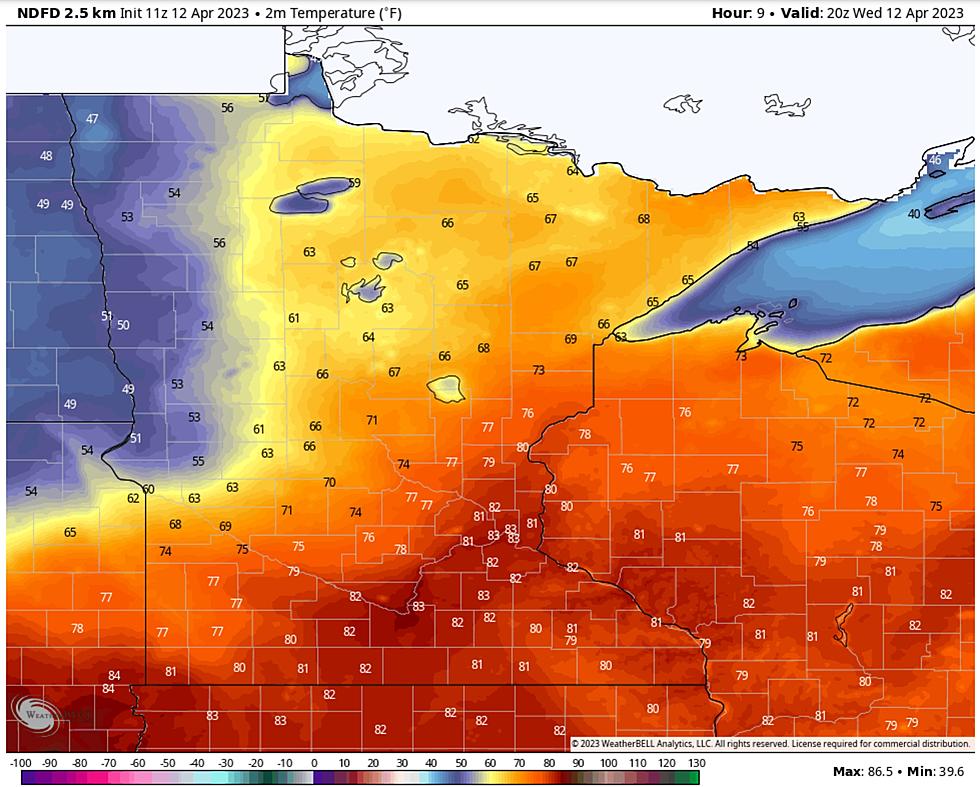
Crazy weather extremes are shaping up for Minnesota and Wisconsin over the next week. From balmy 60s midweek to plowable snow next weekend, the 7-Day Outlook has something for everyone.
I have been trained to avoid yellow snow, but what about brown snow? Dust from Mexico got vacuumed into our snowfall yesterday with reports of brown snow. Whatever the color, much of the snow will finally melt in the coming weeks as a fast-forward thaw arrives.
We have already had a few springlike moments in the Twin Ports but it looks like it could be here to stay and soon, according to the National Weather Service of Duluth.


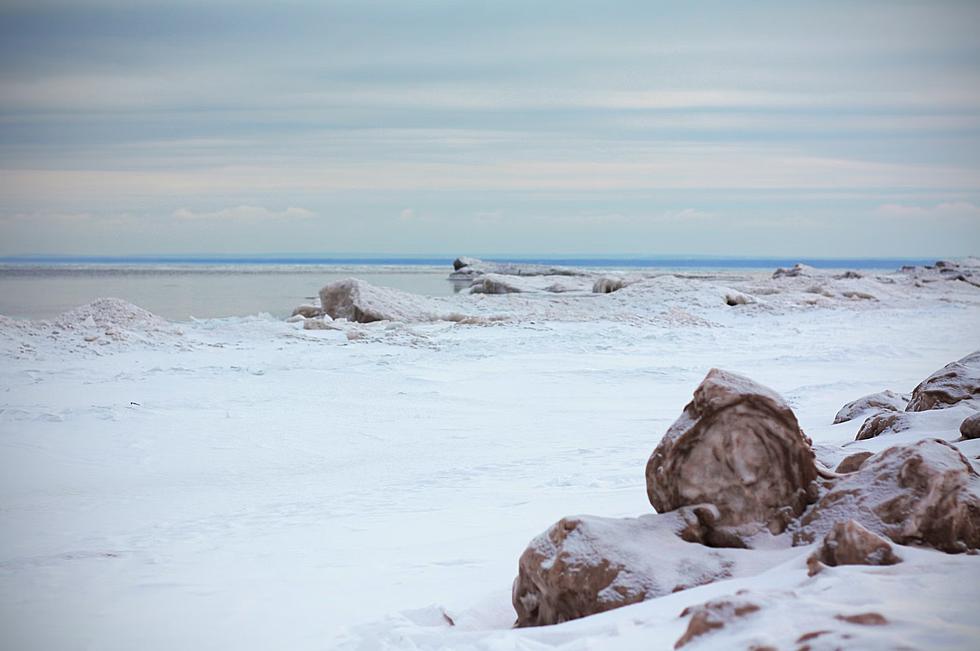

![Check Out All Of The Ice And Snow Stacked Up In Duluth’s Canal Park [PHOTOS]](http://townsquare.media/site/164/files/2023/04/attachment-dsc_5175.jpg?w=980&q=75)