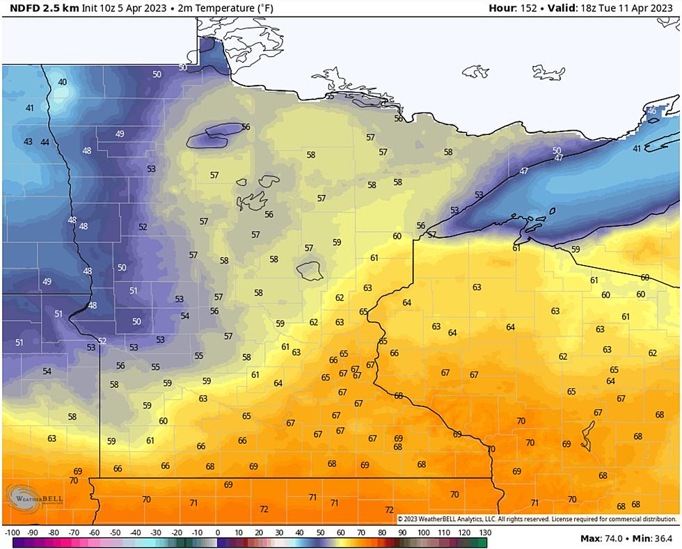
Our wintry occupation shows signs of fading away by the weekend with a streak of 50s early next week, even a slight chance of tasting 60 degrees! Big weather changes are on the way - finally.
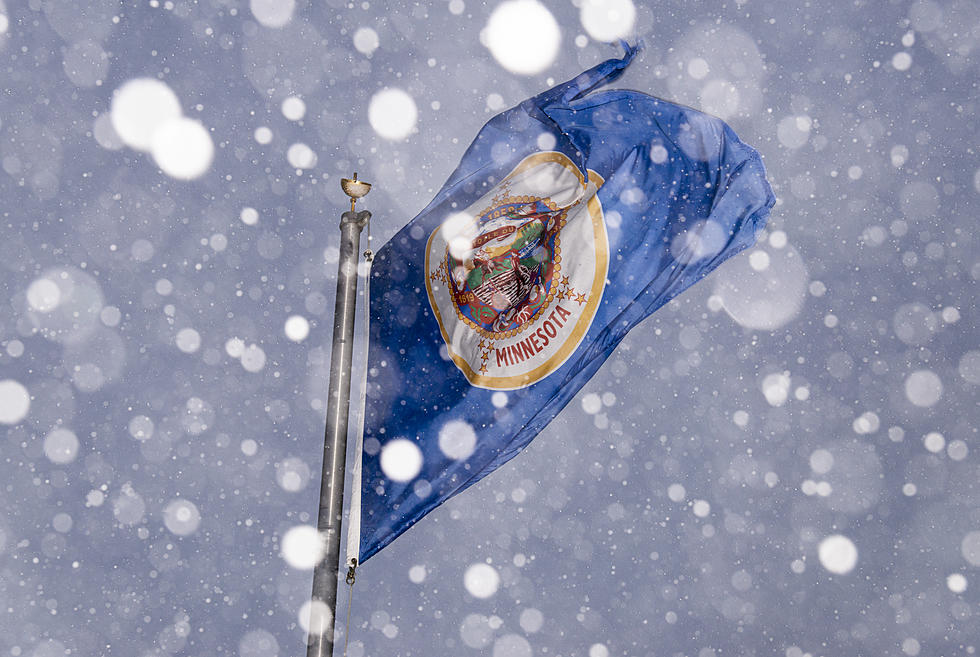
It can be very tempting to go down to check out huge waves when they develop on Lake Superior. However, while this storm is raging, that could be a very dangerous idea.
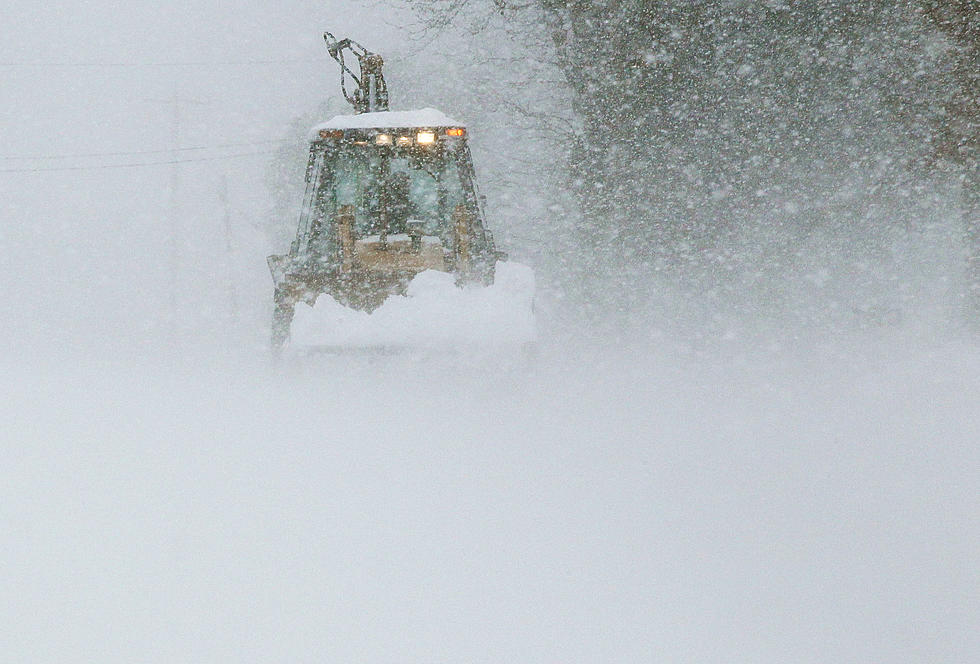
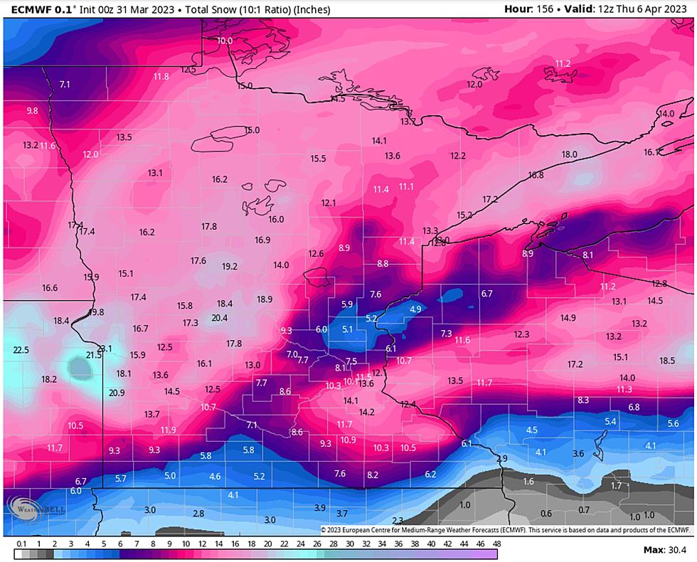
We will experience almost every kind of weather over the next 36 hours: snow, glaze ice, sleet, thunder and lightning and winds gusting as high as 60 mph. After this wintry tantrum spring arrives, with the flick of a switch, next week with a streak of 50s.
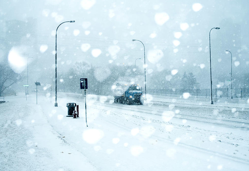
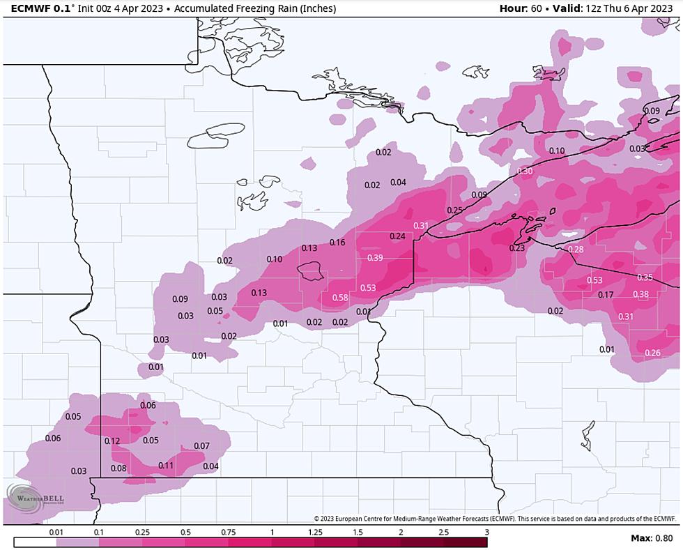
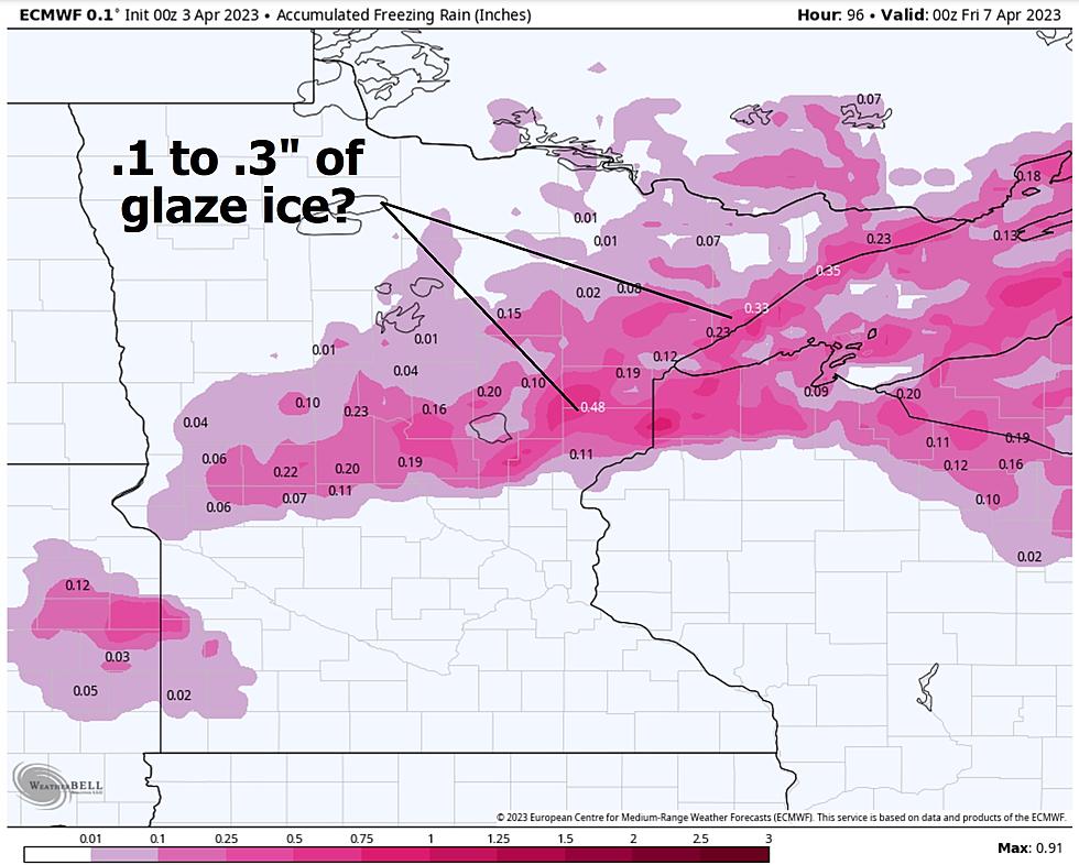
Here is subtle sign of spring: this next storm won't be all-snow. Temperatures aloft will be warm enough for rain, freezing on contact with cold surfaces, especially Tuesday night. Glaze ice may trigger treacherous travel, followed by a few (plowable) inches of snow and high winds on Wednesday.
It's still early, but a combination of ice, snow, and high winds may result in treacherous travel conditions by the middle of next week, with blizzard or near-blizzard conditions a very real possibility.