Week To End with Colder Weather and a Winter Weather Advisory Just Outside of the Twin Ports
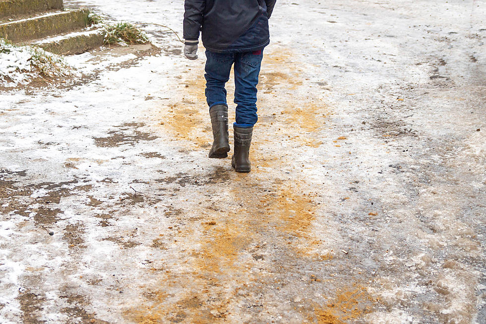
You've heard the talk of snow potential, and the Twin Ports will primarily see rain with a chance at some mixed precipitation and snow showers over the next 48 hours. However, if you planning on traveling during that time frame, check the weather of your route. The National Weather Service has issued a Winter Weather Advisory for parts of the Northland from 4pm Thursday until 7pm Friday and measurable snow is expected.
As posted on Weather.com, here is the official advisory released by The National Weather Service in Duluth:
WINTER WEATHER ADVISORY IN EFFECT FROM 4 PM THURSDAY TO 7 PM CDT FRIDAY...
THE NATIONAL WEATHER SERVICE IN DULUTH HAS ISSUED A WINTER WEATHER ADVISORY FOR SNOW AND BLOWING SNOW... WHICH IS IN EFFECT FROM 4 PM THURSDAY TO 7 PM CDT FRIDAY. THE WINTER STORM WATCH IS NO LONGER IN EFFECT.
* LOCATION... NORTH CENTRAL MINNESOTA... INCLUDING NORTHERN ITASCA... NORTHERN SAINT LOUIS AND KOOCHICHING COUNTIES.
* TIMING... LATE THURSDAY AFTERNOON THROUGH EARLY FRIDAY EVENING.
* SNOW ACCUMULATIONS... EXPECT 4 TO 6 INCHES OF SNOW NORTH OF A LINE FROM BEMIDJI TO HIBBING TO ELY... WITH LOCALLY HIGHER AMOUNTS POSSIBLE TO 8 INCHES ACROSS FAR NORTHWEST KOOCHICHING COUNTY.
* IMPACTS... GUSTY NORTHWEST WINDS UP TO 30 MPH WILL PRODUCE PERIODS OF REDUCED VISIBILITY FROM THE COMBINATION OF SNOW AND BLOWING SNOW.
PRECAUTIONARY/PREPAREDNESS ACTIONS...
A WINTER WEATHER ADVISORY FOR SNOW AND BLOWING SNOW MEANS THAT VISIBILITIES WILL BE LIMITED DUE TO A COMBINATION OF FALLING AND BLOWING SNOW. USE CAUTION WHEN TRAVELING... ESPECIALLY IN OPEN AREAS THAT ARE MORE EXPOSED TO THE WIND. ROADS MAY BE SLICK AND HAZARDOUS... SO ALLOW EXTRA TIME TO REACH YOUR DESTINATION.
The good news is the weekend should end with a little sunshine and temperatures creeping back into the 50's for the Twin Ports.
Safe travels!
More From B105