Double Whammy: Snow Storms On Their Way for Northland
Well, here we go! Time will tell what we get in the Northland. I think we'll be on the low end with accumulation in the first go round in the Twin Ports. However, something tells me we may get hit hard by the storm expected to arrive mid-week. That is purely a gut feeling. Either way, drive safely!
The snow machine that’s been stuck in the “off” position for most of the Northland’s winter suddenly seems to be stuck on, with back-to-back storms forecast for next week that could drop heavy snow on parts of the region.
The first storm is set to arrive Sunday, with a broad area of 4 to 6 inches of new snow across northern Minnesota. Though computer models haven’t agreed on the exact track of the storm, areas north of Duluth could see up to 8 inches or even a foot of snow.
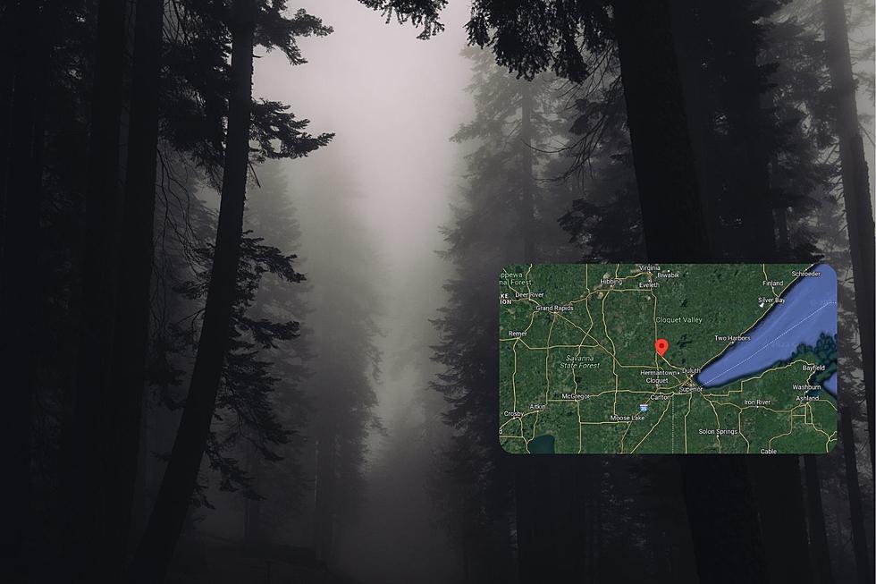
A winter storm watch is already posted from Carlton County north, including Duluth and Superior.
The National Weather Service in Duluth says the Twin Ports will be right on the edge of the heavy snow and, depending which way the low-pressure system tracks, could see 5-8 inches.
Northwestern Wisconsin is expected to see 3-5 inches.
Brisk southeasterly winds to 25 mph could reduce visibility and make travel difficult during the day Sunday. Snow is expected to taper off late Sunday and early Monday.
A second major storm is expected to move into the region, dropping heavy snow on Wednesday. That storm has the potential to drop “tremendous amounts” of snow — a foot or more —
via Double whammy: Snow storms on their way for Northland | Duluth News Tribune | Duluth, Minnesota.
More From B105